nptelhrd
60 minutes
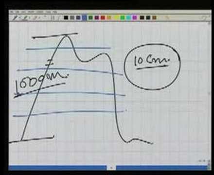
This is a surveying concept covering contours and contouring: contours are lines joining points of equal elevation formed by intersecting terrain with horizontal (ideally equipotential) reference planes, and contour maps encode three-dimensional topography for office-based planning. It defines related terminology (contour interval, horizontal equivalent), the geometric characteristics contours must obey, and the two field methodologies (direct and indirect methods) combining vertical control (locating equal-elevation points) with horizontal control (planimetric plotting) to produce a contour map.