nptelhrd
40 minutes
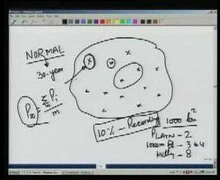
This concept covers the measurement and spatial estimation of precipitation within the hydrologic cycle, the water resources engineering framework describing evaporation, condensation, precipitation, infiltration, and runoff as continuous water movement between ocean, atmosphere, and land. It defines precipitation-forming mechanisms (frontal, convective, orographic, cyclonic) and the instruments (non-recording and recording rain gauges) used to record point rainfall as hyetographs and mass curves, then addresses how point measurements at a rain-gauge network are checked for consistency and combined into an areal average (arithmetic mean, Thiessen polygon, isohyetal methods) to characterize rainfall over a catchment. It relates to hydrology's broader concern with quantifying available water resources for engineering design (floods, irrigation, dam safety) via depth-area-duration relationships, frequency analysis, and probable maximum precipitation.