nptelhrd
58 minutes
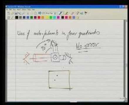
This is a surveying/civil engineering concept covering "setting out" — the transfer of a design plan (building foundation or road/corridor alignment) from a map onto the ground using control points, and the subsequent verification of horizontal position and vertical alignment during construction. It defines horizontal control (locating outlines, center lines, and offsets) versus vertical control (verticality checking), and covers formation-level/slope staking as the mechanism for translating a designed gradient into physical construction references.