nptelhrd
57 minutes
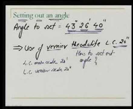
Setting out is the surveying operation of transferring a designed project from a plan or map onto the ground, so that both its internal geometry and its position relative to the landscape are reproduced exactly. It is the inverse of mapping: control stations established during the original survey supply a stable coordinate framework, and the planned coordinates of salient design points are located relative to them using angle and distance observations. It belongs to engineering (project) surveying, applying the whole-to-part principle, control networks, and error and tolerance theory from basic surveying.