nptelhrd
59 minutes
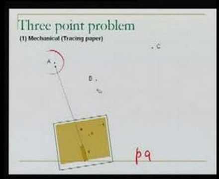
This concept covers plane table surveying methods for locating an unknown occupied station using known control points, focusing on traversing (plotting large features via a chain of stations) and resection — the procedure of simultaneously orienting the plane table and fixing its position using at least three known control points. It formalizes the "three point problem" and its graphical solution methods (tracing paper, Bessel's, Lehman's), along with the geometric conditions under which resection fails, and quantifies centering error's effect on plotting accuracy. The domain is plane table surveying within surveying/geomatics engineering.